Find what you're looking for
Names, dates, photos, and documents in the burial record.
For communities and cemetery administrations
An accurate map, a burial registry, and the team’s daily operations—all in one system. And for residents—the ability to find a burial site using their phone.
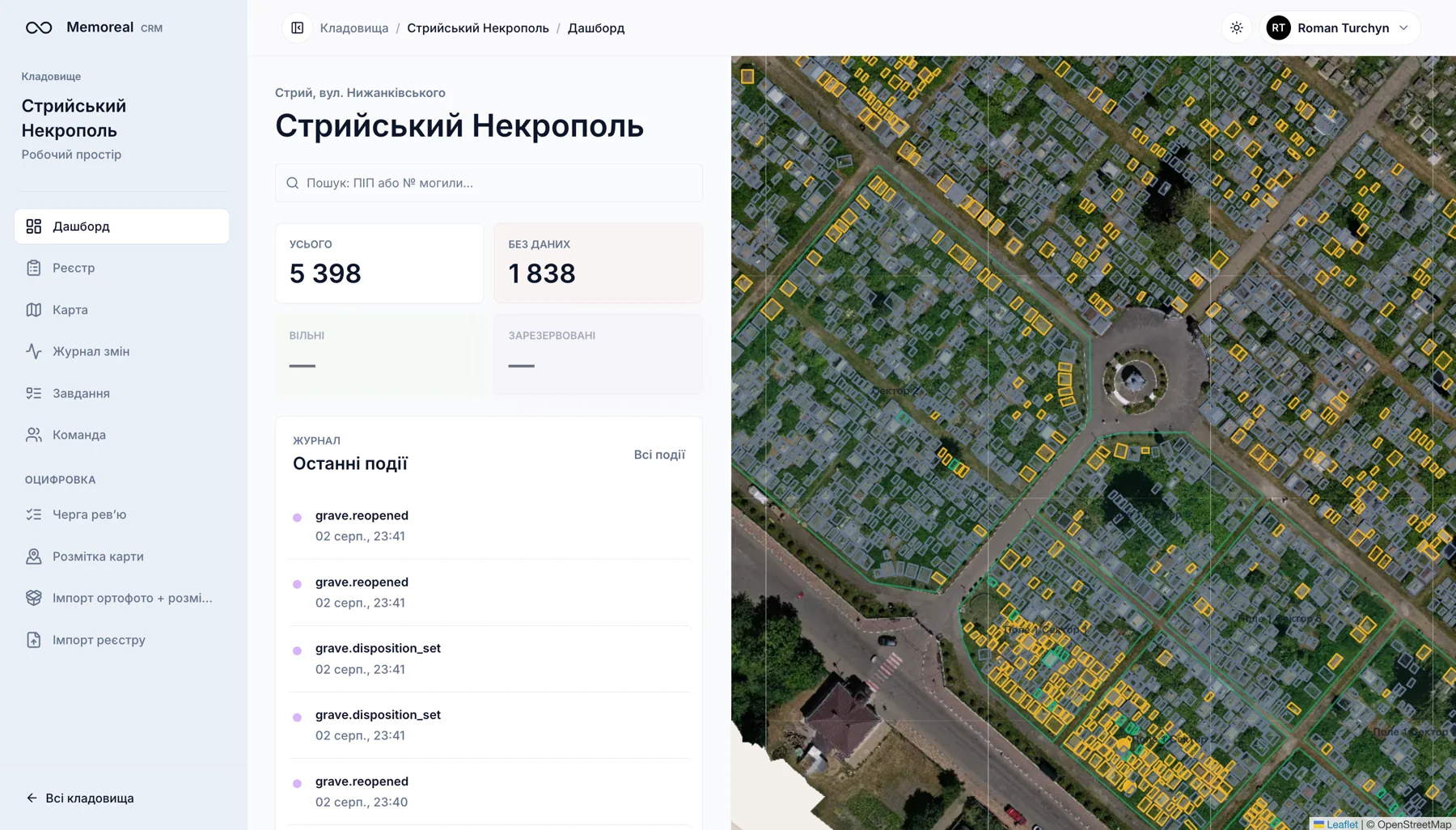
CRM for Administration
Find a grave, view documents, and check for available plots—all right in your browser.
Names, dates, photos, and documents in the burial record.
Occupied, available, and reserved plots on the map.
Role-based access. Export the registry to a file.
In the field—a phone instead of a notebook: photos, contact information, and inscription recognition verified by a staff member.
Public Cemetery Page
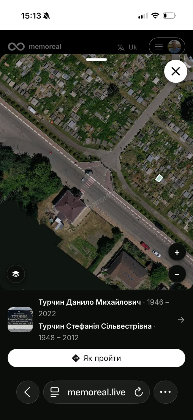
Find the burial site of a loved one by last name, view photos, and see the location on a map. No registration is required—just scan the QR code at the cemetery entrance.
View the Stryi Necropolis ↗Memorial and community pages preserve people’s stories—from family photo albums to the Walk of Fame. More about memory →
How to Get Started
In-house team
Your team, our CRM, and our app. You set the pace.
Discuss setup →Memoreal Help
Photography, maps, verified registry, and team training.
Get a quote →Aerial photography, geotagging, and maps.
Photos, inscriptions, and records—all in one registry.
Access, public page, and training.
Estimated timeline: 2–3 weeks for up to 3 hectares, 4–6 weeks for up to 10 hectares. An exact schedule will be provided after the assessment.
Pricing
30 UAH per grave + preparatory work. The first year of service is included.
Example from a commercial proposal
Starting in the second year—36,000 UAH per year for using the system in this example.
Example: This is not a fixed rate. The estimate depends on the number of burials and the condition of the materials. We provide a separate quote for self-service content entry.
Next step
Please provide the name of the community and the cemetery. We’ll demonstrate the system and prepare a proposal.